Hua Hin Map
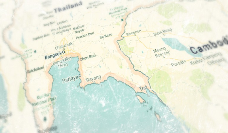
Pick up a Hua Hin Map from tourist information or the shopping mall
Finding your way around Hua Hin is not so difficult as most of the main shops and malls are located along the main road running through town.
Petchakasem or Phetkasem Road as it is also known as is the main highway that starts in Bangkok and continues all the way to the Southern border of Thailand. It is also referred to as Highway 4.
Most of the main hotels and resorts with sea views are situated East of Phetkasem Road along the beach front over-looking the Gulf of Thailand.
Where to Find a Hua Hin Map
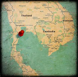 There are plenty of places around Hua Hin where you can pickup a free city map. Most hotels should provide them in the reception area and shopping malls give then away free along with other publications.
If you still can’t find one try the Hua Hin Tourist Information office by the clock tower in the center of town or if you’re doing a bit of shopping then ask at the information desk at Market Village shopping mall.
Online Interactive Map
The map below is interactive Google map of Hua Hin. You can zoom in and out using your mouse scroll wheel or the on-screen controls .
For a more in-depth view with pictures have a look at the interactive map of Hua Hin.
North of Town
A 25-30 minute drive North of Hua Hin is the seaside town of Cha-Am. Although less developed than Hua Hin it is a very popular destination at the weekends, especially for Thai’s. There are plenty of places to hire a bicycle or tandem and spend the afternoon cycling along the scenic beach road.
South of Town
Khao Takiap is just a 5 minute drive south of the center of town and is a great place to go for some fabulous views of the surrounding beaches and Gulf of Thailand. It is also home to the popular Cicada weekend market. Just head South and turn left just before the flyover.
Getting Around Hua Hin
There are many ways to explore Hua Hin such as walking, renting a car, the ever popular motorbike and more recently cycling. Tuk-Tuks are great if you don’t want to drive but you shouldn’t forget public transport.
There are special buses that run up and down Petchakasem Road from the North of town all the way out to Khao Takiab. They are very cheap, only 10 baht a trip. Just stand at the side of the road and look out for the small green buses. You pay when you get to your destination.
Thinking of Hiring a Car?
If you are planning on hiring a car and driving around the area then it is probably a good idea to pick up a road map from one of the many bookstores.
A GPS tracking unit may prove useful if your navigational skills are not so great, definitely a plus if you are thinking of driving in Bangkok where there are plenty of one-way systems to get stuck in. Most local GPS units have the option to change the language so that you can use English instead.
Just a word of warning about this though, when road names are translated you are likely to find many different translations of the same road name. Phonetically they’ll sound the same but it may take a little effort to find the correct name on your GPS map.
